Year-round activities and events are on the calendar for visitor centers and organizations ... read more.
Current and past hydrologic condition designations
Target flows designed to benefit target species habitat
Current and past stream flow data visualization
Dry
Current Hydrologic condition
This hydrologic condition is calculated using a formula contained in the Program's Water Plan.
Next Event
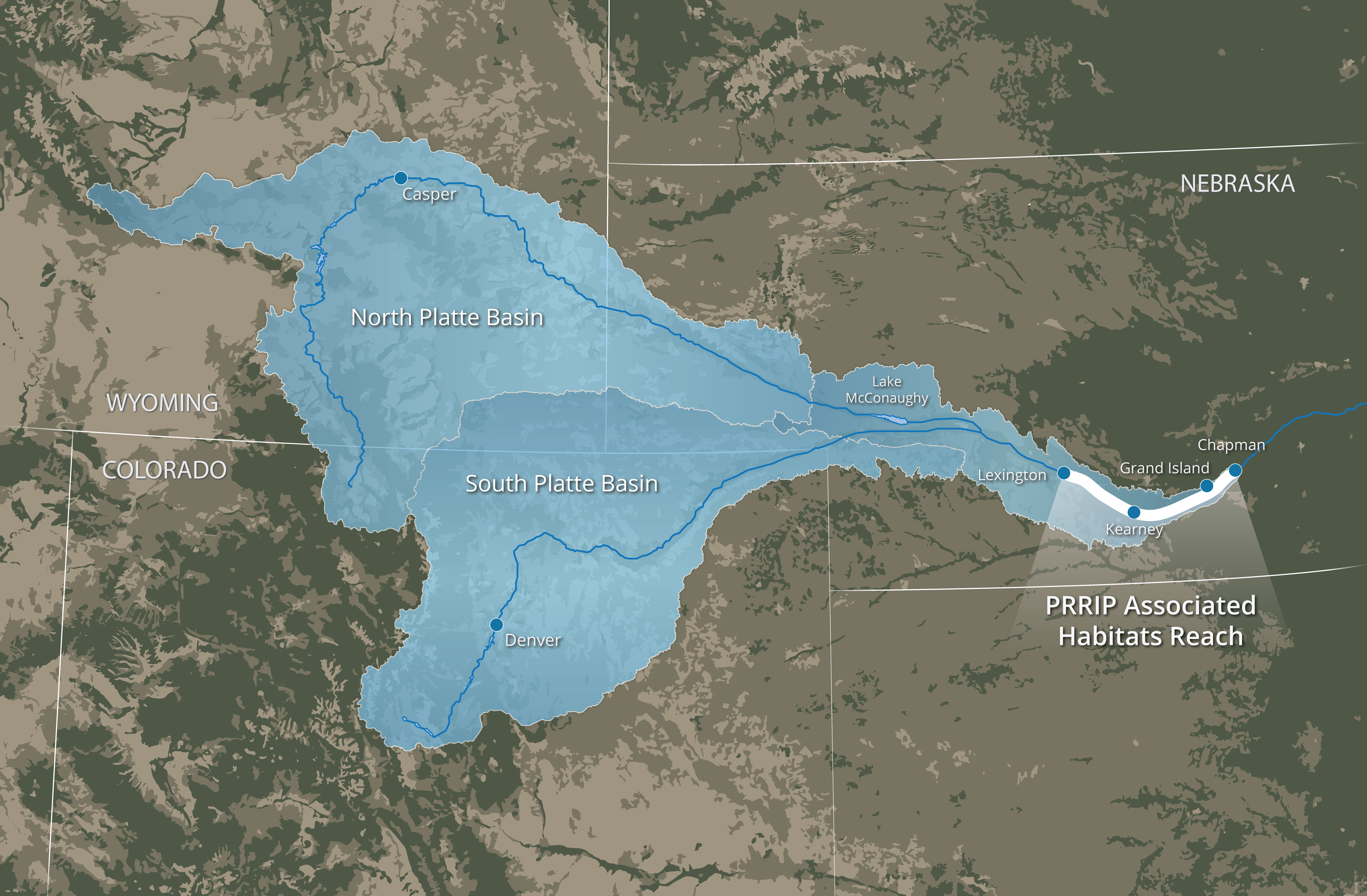
Map of Platte River Recovery Implementation Program (PRRIP) associated habitats reach (AHR) and Platte River watersheds.