River Flow Data Tool
This interactive tool offers access to provisional river flow data from key gauges along the Platte River, drawn from reliable sources including the U.S. Geological Survey (USGS) and the Nebraska Department of Water, Energy, and Environment (DWEE). The data includes real-time and historical measurements of streamflow, helping to visualize water conditions over customizable time periods. Please note that this information is preliminary and may be revised. Always consult the originating agencies for verified or official data. For related insights, here is direct link to current Lake McConaughy elevation and volume data from the Central Nebraska Public Power and Irrigation District (CNPPID).
Why This Data Matters
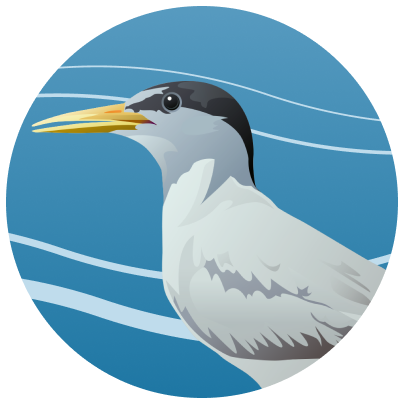
The Platte River Basin is a critical ecosystem supporting threatened and endangered species, such as the whooping crane, interior least tern, piping plover, and pallid sturgeon. As part of the Platte River Recovery Implementation Program, these flow measurements play a key role in habitat enhancement, restoration, and protection. Monitoring river flows ensures that water management balances environmental needs with human activities like agriculture, urban supply, and recreation. By tracking changes in streamflow, stakeholders can make informed decisions to sustain biodiversity, comply with Endangered Species Act requirements, and adapt to challenges like drought or flooding.
How to Use the Tool
- Select Your Date Range: Enter a start date and end date in the provided fields. The start date must come before the end date, and the end date should be today or earlier to ensure valid results.
- Generate the Chart: Click the "Generate Chart" button to create a visual representation of the flow data for your chosen period. The chart will display streamflow measurements from available gauges.
- Troubleshoot Issues: If the chart shows no data or an error message appears (e.g., "Selected data range is empty"), try adjusting your dates or selecting different gauges. This could happen if data is unavailable for the specified range.
- Search and Explore: Use the built-in search function to filter for specific gauges, locations, or data points, making it easier to focus on areas of interest.
This tool is designed for researchers, water managers, educators, and the public. If you have questions or need assistance, feel free to contact us. We encourage responsible use of this data to support the ongoing recovery of the Platte River ecosystem.