Description
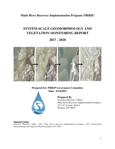
This report documents the first implementation of the PRRIP System-Scale Geomorphology and Vegetation Monitoring effort utilizing remote sensing methods. The goal of the project is to track long-term trends in morphology and in-channel vegetation in the Associated Habitat Reach (AHR) of the Central Platte River, with a focus on changes that may affect habitat for the PRRIP target species. A variety of metrics associated with target species habitat are presented in this report, including trends in wetted width and depth of the channel, width of channel that is unobstructed by tall vegetation, sediment volume differencing, and channel area suitable for whooping crane roosting.